| Wetterinfo | - - |
| Koordinaten | 31.2061W 81.906E |
| Typ | Small airport |
| Land | United States (Vereinigte Staaten von Amerika) weitere Länder... |
| Gehört zu | Nahunta |
| Orte in der Nähe | Nahunta, Woodbine, Blackshear, Dock Junction, Brunswick, Sunnyside, Country Club Estates, Waycross, Folkston, Deenwood, |
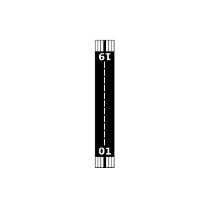
| Landebahnen | 01/19 |
| Fluginformation (FIR) | Jacksonville |
| Runway | RWY-Richtung | Seitenwind | Gegenwind |
|---|---|---|---|
| 01/19 | 6°/186° | - | - |
| Daystar Strip Airport | 28 km | - | - | |||
| Bivins Airport | 35 km | - | - | |||
| KJES | Jesup-Wayne County Airport | 39 km | METAR | TAF | ||
| KBQK | Brunswick Golden Isles Airport | 42 km | METAR | TAF | ||
| KAYS | Waycross-Ware County Airport | 47 km | METAR | TAF | ||
| Davis Field | 47 km | - | - | |||
| Jekyll Island Airport | 48 km | - | - | |||
| KSSI | St. Simons Island Airport | 49 km | METAR | TAF |