| Wetterinfo | METAR TAF |
| Koordinaten | 31.152W 81.3902E |
| Typ | Midsized airport |
| Land | United States (Vereinigte Staaten von Amerika) weitere Länder... |
| Gehört zu | St Simons Island |
| Orte in der Nähe | Saint Simons Island, Saint Simon Mills, Brunswick, Country Club Estates, Dock Junction, Darien, Woodbine, Kings Bay Base, St Marys, Kingsland, |
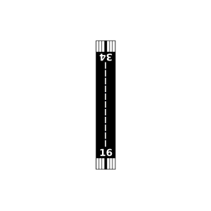
| Landebahnen | 04/22, 16/34 |
| Fluginformation (FIR) | Jacksonville |
| Runway | RWY-Richtung | Seitenwind | Gegenwind |
|---|---|---|---|
| 04/22 | 36°/216° | - | - |
| 16/34 | 154°/334° | - | - |
| Jekyll Island Airport | 9 km | - | - | |||
| KBQK | Brunswick Golden Isles Airport | 14 km | METAR | TAF | ||
| High Point Airport | 25 km | - | - | |||
| Sapelo Island Airport | 32 km | - | - | |||
| Patterson Island Airport | 35 km | - | - | |||
| Stafford Airport | 39 km | - | - | |||
| Brantley County Airport | 49 km | - | - |