| Wetterinfo | METAR TAF |
| Koordinaten | 46.2183W 97.6434E |
| Typ | Midsized airport |
| Land | United States (Vereinigte Staaten von Amerika) weitere Länder... |
| Gehört zu | Gwinner |
| Orte in der Nähe | Forman, Lisbon, Oakes, Sheldon, Britton, |
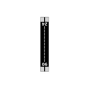
| Landebahnen | 16/34, 06/24 |
| Fluginformation (FIR) | Minneapolis |
| Runway | RWY-Richtung | Seitenwind | Gegenwind |
|---|---|---|---|
| 06/24 | 61°/241° | - | - |
| 16/34 | 164°/344° | - | - |
| Milnor Municipal Airport | 16 km | - | - | |||
| Lisbon Municipal Airport | 26 km | - | - | |||
| Dahl Private Airport | 29 km | - | - | |||
| Thompson Private Airport | 31 km | - | - | |||
| Oakes Municipal Airport | 34 km | - | - | |||
| Lidgerwood Municipal Airport | 39 km | - | - | |||
| Krause Private Airport | 39 km | - | - | |||
| Sanden Airport | 43 km | - | - | |||
| Sky Haven Airport | 45 km | - | - | |||
| KBTN | Britton Municipal Airport | 45 km | METAR | TAF | ||
| Kraig Farms Airport | 47 km | - | - | |||
| Goerger Airport | 47 km | - | - | |||
| Geske Airfield | 48 km | - | - | |||
| Hager Strip Airport | 49 km | - | - |