| Wetterinfo | - - |
| Koordinaten | 46.0892W 97.1661E |
| Typ | Small airport |
| Land | United States (Vereinigte Staaten von Amerika) weitere Länder... |
| Gehört zu | Lidgerwood |
| Orte in der Nähe | Forman, Wahpeton, Sisseton, Breckenridge, |
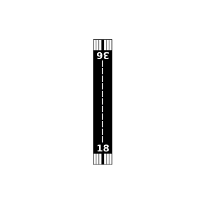
| Landebahnen | 18/36 |
| Fluginformation (FIR) | Minneapolis |
| Runway | RWY-Richtung | Seitenwind | Gegenwind |
|---|---|---|---|
| 18/36 | 179°/359° | - | - |
| Krause Private Airport | 15 km | - | - | |||
| Thompson Private Airport | 16 km | - | - | |||
| Goerger Airport | 20 km | - | - | |||
| Hager Strip Airport | 23 km | - | - | |||
| Moffet Airstrip Airport | 27 km | - | - | |||
| Milnor Municipal Airport | 28 km | - | - | |||
| Sanden Airport | 30 km | - | - | |||
| KGWR | Gwinner/Roger Melroe Field | 39 km | METAR | TAF | ||
| Dahl Private Airport | 46 km | - | - | |||
| KBWP | Harry Stern Airport | 46 km | METAR | TAF | ||
| Wetherbee Farm Airport | 48 km | - | - | |||
| Sisseton Municipal Airport | 49 km | - | - |